Project information
- Category:Mapping & Data Analyst
- Project date: 01 March, 2020
Project detail
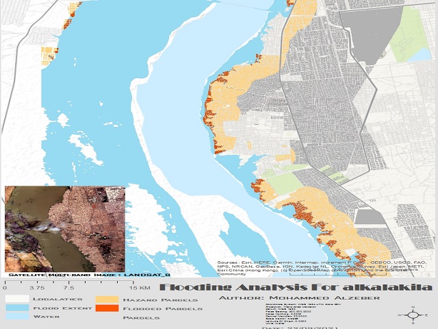
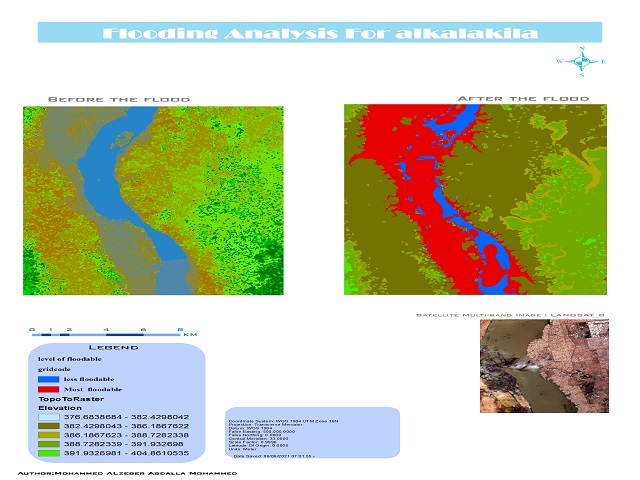
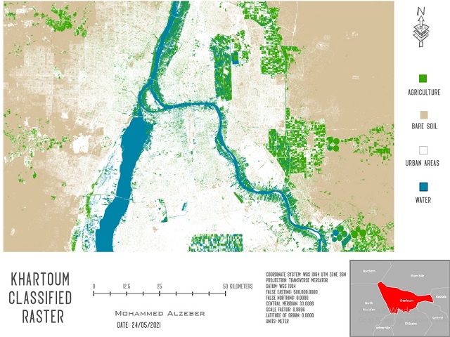
Mapping to present their findings through professional quality mapping. Conduct spatial analysis from concept to analysis and presentation to show acquired skills, everything related to computer skills, GIS program development, remote sensing and natural sciences - Participate in team and related data and information management activities. Especially in applied fields such as geolocation and logistics. Comfortable with large database management and analysis. Strong skills with various computer systems from spreadsheets and databases to GIS mapping software such as ArcGIS and Any Software.


